Santiago de Cali


Santiago de Cali, Valle del Cauca, Colombia
Suggest Place to Visit
382
Track to location with GPS |
 |
The primitive settlers were the ´´Cotecos´´, a tribe descended from the Motilones and belonging to the great Caribbean family. They were completely degenerate, since none of them reached one meter and fifty in height and they were called that because they suffered from hypertrophy of the thyroid gland; They were montunos and hardly went out to town for the feast of the blacks and the Holy Innocents.
Despite the fact that their culture was little developed, they left testimonies of their existence by engravings in stone and elements or utensils, also in stone.
They inhabited the banks of the Peralonso and Zulia rivers, a stream and a source of water, their physical appearance was very short and they were characterized by having a preserve and a goiter. They fed on corn and plants such as palm hearts, ledo cogollo de lucua; They seasoned the food with chili peppers and hunted armadillos, bucuas, guartinajas, deer, and guacharacas. Their agriculture was little developed, for having a semi-nomadic way of life. When their source of food was scarce, they emigrated to another region and belonged for another period of time.
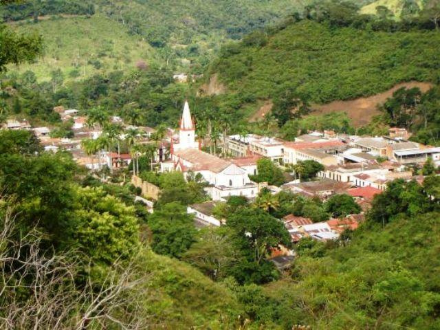
The origins of what is now Santiago are legendary.
According to the old chronicles, the apostle Santiago, patron of Spain, ordered the rich landowner Ignacio Romero Camacho to found a town in his honor, on the banks of the Pedro Alonso River. From there the first twelve houses and a chapel arose, which over the years would become the municipal seat.
Full Name: Santiago
Foundation: 1742.
Founder: Ignacio Romero and Benedicto Rincón.
Population: DANE 2005 Census: 2,679 inhabitants
Altitude: 411 meters above sea level.
Extension: 173 Km2
Weather: 27 degrees C.
Distance to Cúcuta: 33 Km.
Geographic coordinates: Longitude west of Greenwich 72º 43´, North latitude 7º 52´
Limits: North: El Zulia,
South: Durania and Salazar,
East: El Zulia and San Cayetano,
West: Gramalote and Salazar.
Administrative Division: Composed of 12 trails.
Rivers: El Peralonso and El Zulia.
Region: Central
Economy:
Agricultural production in lines such as rice, corn, sugar cane, banana, coffee and cassava.
Livestock production such as cattle, pigs and poultry.
Holidays:
July 25: Festivities
August 15 to 20: Fairs and festivals in honor of San Roque
Market day: Sundays
Easter
December: Novena of Christmas bonuses.
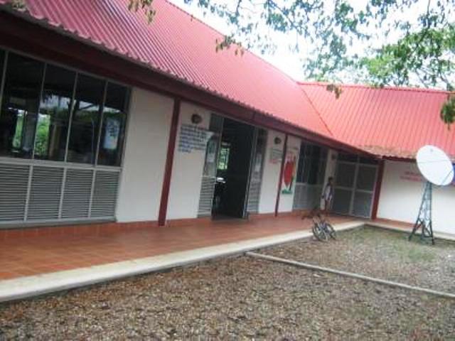
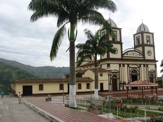
Tourist sites:
La Laja Bridge
La Hamaca Bridge
Well of Doña Flor
Peralonso River
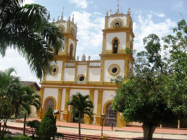
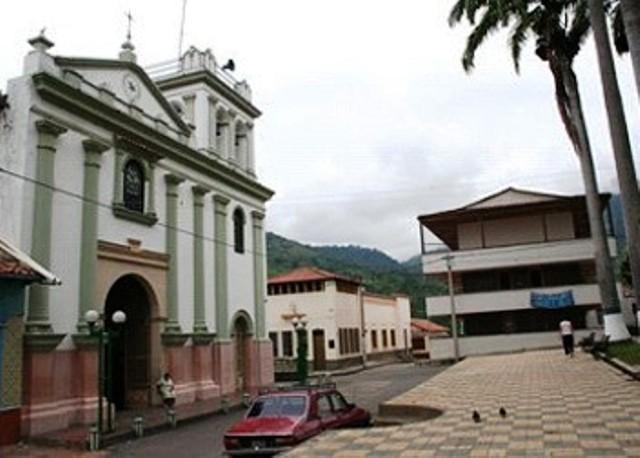
Parish church
Well of the Nuns
Comments
We don´t have yet any comments about:
Santiago de Cali
Santiago de Cali
Be the first to leave a comment as it is very important to inform other people
Outros locais a visitar
Within a radius of 20 km from:Santiago de Cali
San Cayetano |
| 10,2 Km |
 |
Salazar de las Palmas |
| 14,7 Km |
 |
The Zulia |
| 14,8 Km |
 |
Cidade de Lourdes |
| 15,4 Km |
 |
Durania |
| 18,0 Km |
 |
Hotel reservation near Santiago de Cali within a radius of 20 km
No results
Why to book with ROTAS TURISTICAS
The best prices
Our partnerships with the world´s largest operators offer research on the best market prices.
More options
At Rotas Turisticos you can book the hotel, buy the air ticket, book the transfer from the airport to the hotel and vice versa, book the local excursions, rent the car, take travel insurance and consult the places to visit and where to go.
Holiday Tips & Destinations
Hundreds of holiday destinations with all the options that allow you to easily choose the destination that best suits your dream vacation.
ROTAS TURISTICAS
Links
Follow us on social networks


